INTRODUCTION
From 11 to 14 December 2013, winter storm (Alexa) covered the West Bank, Palestine with heavy snow. This storm was described as the worst winter storm on record since 1953 (FAO, 2014). Heavy snow rendered dozens of communities across the West Bank inaccessible; tens of thousands of homes were left without electricity supply (OCHA, 2013). This report was developed to map snow-covered land in West Bank, Palestine on December 19, 2013, using Earth Observation System (EOS) “Landsat 7 Enhanced Thematic Mapper (ETM)” image.
FACTS
- The snow covered 878.7 km2 (15.5% of the West Bank area) on December 19, 2013.
- 433.9 Km2 or 49.4% of the snow-covered land in the West Bank was agriculture land.
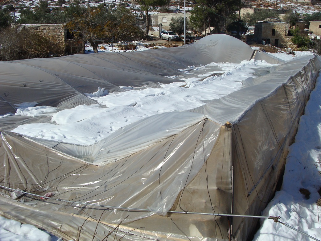
Damage Greenhouse in Beit Iksa, Jerusalem (© ARIJ)
METHOD
Two images derived from Landsat 7 Enhanced Thematic Mapper (ETM) and Landsat 8 Operational Land Imager (OLI) were used in this study (EROS, 2014). The first image was acquired on December 11, 2013 at 8:12am, the first day of Alexa storm, while the second image was acquired on December 19, 2013 at 8:07 am. Landsat 8 image was used to monitor the cloud cover over the West Bank, while Landsat 7 image was used for the snow mapping process, see photos 1 & 2.
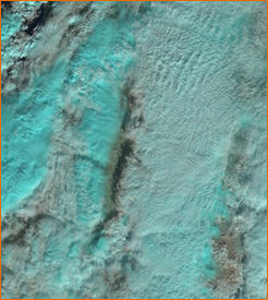
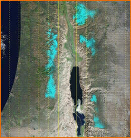
Landsat 8, 11/12/2013, 8:12 am Landsat 7, 19/12/2013, 8:07 am
A false color composite was done for Landsat 7 using the following bands: Green (band 2), Near Infrared (band 4) and Med-infrared (band 5); this help to distinguish snow cover from cloud cover (UCCB, 2012). After isolating the snow cover a digitizing process was done to visualize the snow covered land in the West Bank, after that the snow-covered land in km2 was calculated, in addition to estimate the open agriculture land and greenhouses area covered by snow in the West Bank.
RESULTS
The results show that the snow-covered land in the West Bank on December 19, 2013 was “878.7 km2” (15.5% of the West Bank area). Map 1 shows the cloud cover over the West Bank governorates on December 11, 2013, while map 2 shows the snow-covered land in the West Bank on December 19, 2013.
Map 1 and 2: Cloud and Snow cover over the West Bank Palestine
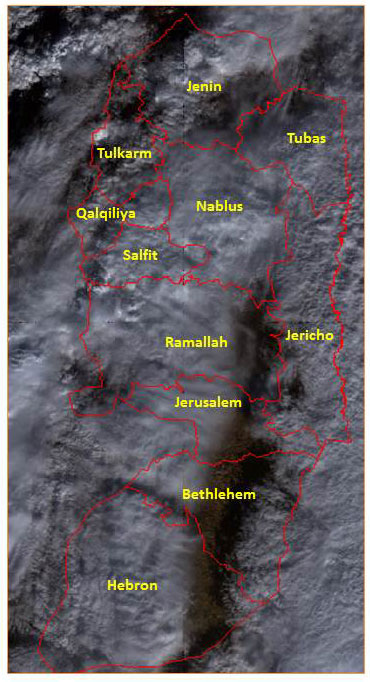
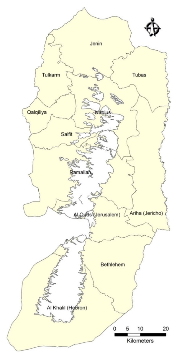
The main Governorates covered with snow were the Governorates of Hebron, Ramallah and Nablus, of which 31.8% of the total snow-covered land in the West Bank located in Hebron Governorate (279.8 km2), 27.9% in Ramallah (245 km2) and 18.8% in Nablus (165 km2) (see table 1).
Table 1: Distribution of the snow-covered land in the West Bank Governorates
|
Governorate |
Area (km2) |
% |
|
Hebron |
279.8055 |
31.8 |
|
Bethlehem |
82.4058 |
9.4 |
|
Jerusalem |
89.2314 |
10.2 |
|
Ramallah |
244.7955 |
27.9 |
|
Nablus |
165.0303 |
18.8 |
|
Salfit |
14.4234 |
1.6 |
|
Jenin |
3.0069 |
0.3 |
|
TOTAL |
878.6988 |
100 |
REFERENCES
EROS. 2014. USGS science for a changing world [Online]. USGS National Center, United States of America: USGS. Available: http://glovis.usgs.gov/ [Accessed January 2014].
FAO (2014). Winter Storm Alexa Damage Assessment and Response West Bank and Gaza Strip. Food and Agricultural Organization of the United Nations.
OCHA (2013). Occupied Palestinian Territory: Winter Storm Situation Report. OCHA oPt.
UCCB (2012). Image Processing – In-Class Exercise. University of Colorado