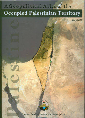
 The Geopolitical Atlas of the Occupied Palestinian Territory was published by ARIJ to outline the geopolitical developments in the Palestinian Territory. It includes the geopolitical maps of all Palestinian governorates, Israeli Barriers over the years, maps of the Palestinian cities, land ownership in Palestine. In addition, it presents maps highlighting house demolitions, olive tree land areas, distribution of schools and universities, water networks, Oslo Agreement, Sharm Esh Sheikh Memorandum, and Israeli security zones in the Gaza Strip and many others.
It’s worth mentioning that during the historical visit of his holiness Pope Benedict XVI which took place in May 2009, Dr. Jad Isaac (ARIJ General Directer) presented to his holiness a special version of the Geopolitical Atlas of the Occupied Palestinian Territory. This special version of the Atlas had an image of his holiness on its first page.
Available for purchase from ARIJ Resource Center.
Price: $20
For more information, please contact us at:
Phone: 2741889 – Extension: 419
