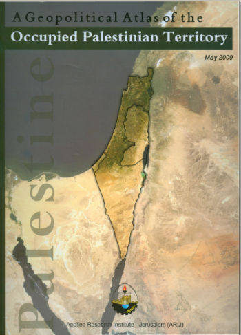
A Geopolitical Atlas of the Occupied Palestinian Territory
The Geopolitical Atlas of the Occupied Palestinian Territory was published by ARIJ to outline the geopolitical developments in the Palestinian Territory. It includes the geopolitical maps of all Palestinian governorates, Israeli Barriers over the years, maps of the Palestinian cities, land ownership [...]
Locality Profiles & Needs Assessment in Hebron Governorate
The book comes as a result of a comprehensive study of all localities in the Hebron Governorate, which aims at depicting the overall living condition in the governorate and presenting developmental plans to assist in developing the livelihood of the population in [...]

Palestine Road Map
Palestine Road Map is a comprehensive tourist map that covers West Bank and Gaza. It includes the street numbers and the names of all localities and cities of Palestine. It also shows the geopolitical status of the West Bank, pointing out which [...]
A Review of the Agricultural Sector
This publication – published in 2007 – offers a comprehensive review of the Palestinian Agricultural Sector, which faces a number of serious constraints, most of which are a direct result of the activities of Israeli control. The ongoing construction of the separation [...]
Geopolitical Status of Bethlehem Governorate
The book presents the geopolitical status of Bethlehem Governorate. It starts with an overview of the Israeli segregation plan in the Occupied Palestinian Territory, and then discusses the how Palestinian resources like agricultural areas, forests and water are isolated by this segregation [...]
Geopolitical Status of Qalqiliya Governorate
The book presents the geopolitical status of Qalqiliya Governorate. It starts with an overview of the Israeli segregation plan in the Occupied Palestinian Territory, and then discusses the how Palestinian resources like agricultural areas, forests and water are isolated by this segregation [...]
Policy Tools towards Sustainable Land Use and Urban Environmental Management Under a Transitional Political Context
This study serves as a summary for the methodology, research findings, and primary recommendations which have emerged from the PRIPODE project. Rather than a reproduction of the final report, it is a distillation of the main aspects of the research findings. The [...]
Status of the Environment in the Occupied Palestinian Territory
The book provides a narrative, statistical and cartographic description of the current environmental status in the OPT and shows the trends of the major environmental indicators over the period from 1997 till 2007. It also includes a list of recommendations to monitor [...]